Hong Kong Trail Revisited
Stage 6 to Stage 7
sdfsdfsdf
Hong Kong Trail Revisited
Stage 4 to Stage 5
sdfsdfsdf
Hong Kong Trail Revisited
Stage 1 to Stage 3
sdfsdfsdf
Hong Kong Trail 8
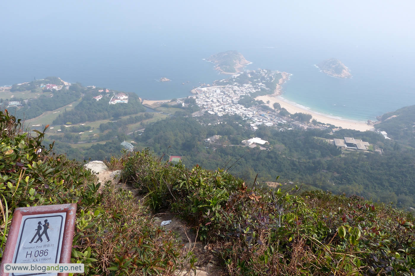
Stage 8: To Tei Wan to Tai Long Wan (8.5km)
Distance Posts: H84 - H100
s
Hong Kong Trail 7
Stage 7: Tai Tam Road to To Tei Wan (7.5km)
Distance Posts: H68 - H84
s
Hong Kong Trail 6
Stage 6: Mount Parker Road to Tai Tam Road (4.5km)
Distance Posts: H60 - H68
s
Hong Kong Trail 5
Stage 5: Wong Nai Chung Gap Road to Mount Parker Road (4km)
Distance Posts: H51 - H59
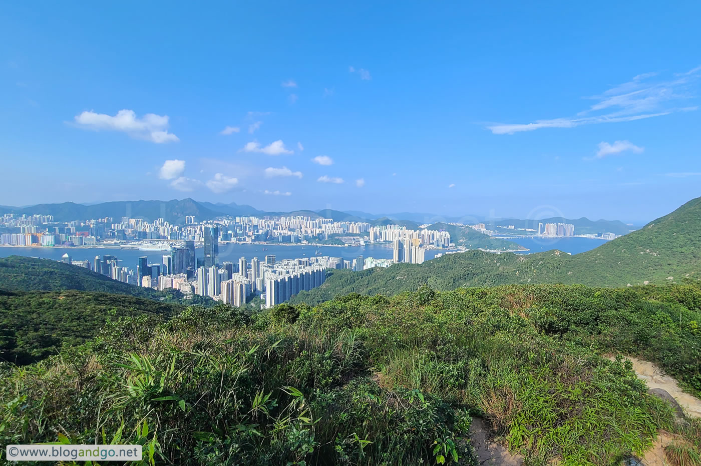
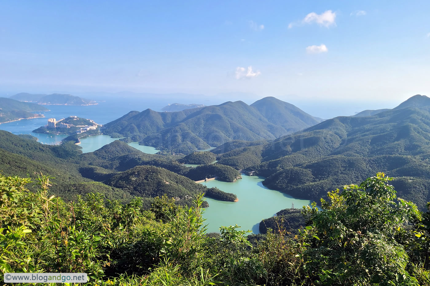
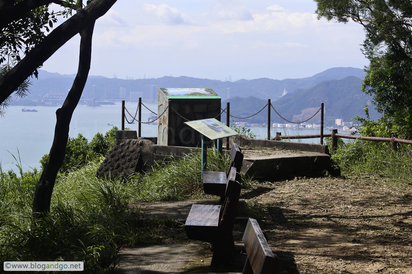
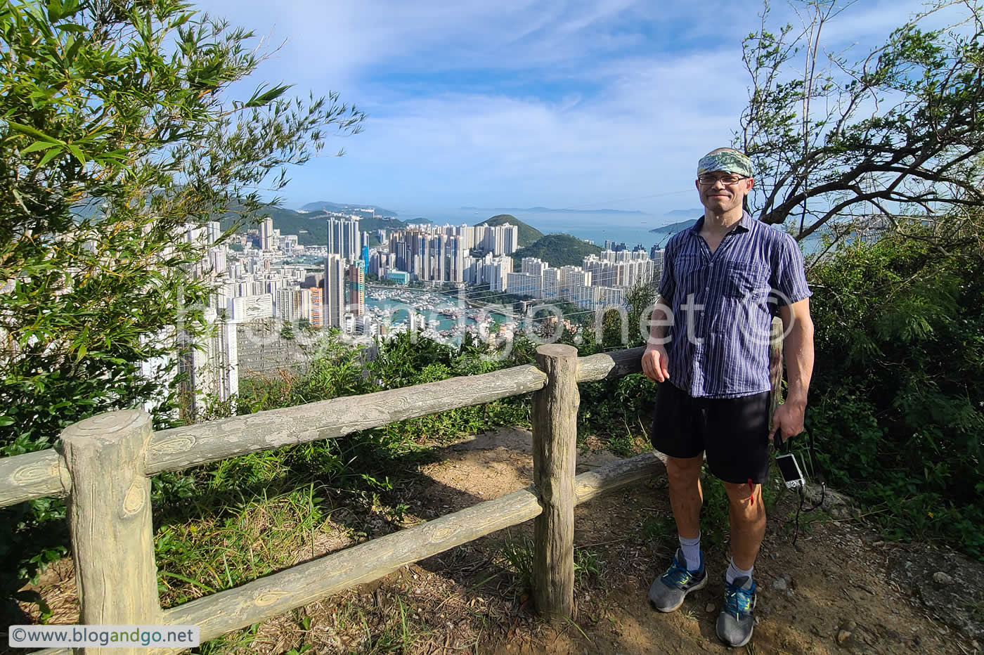
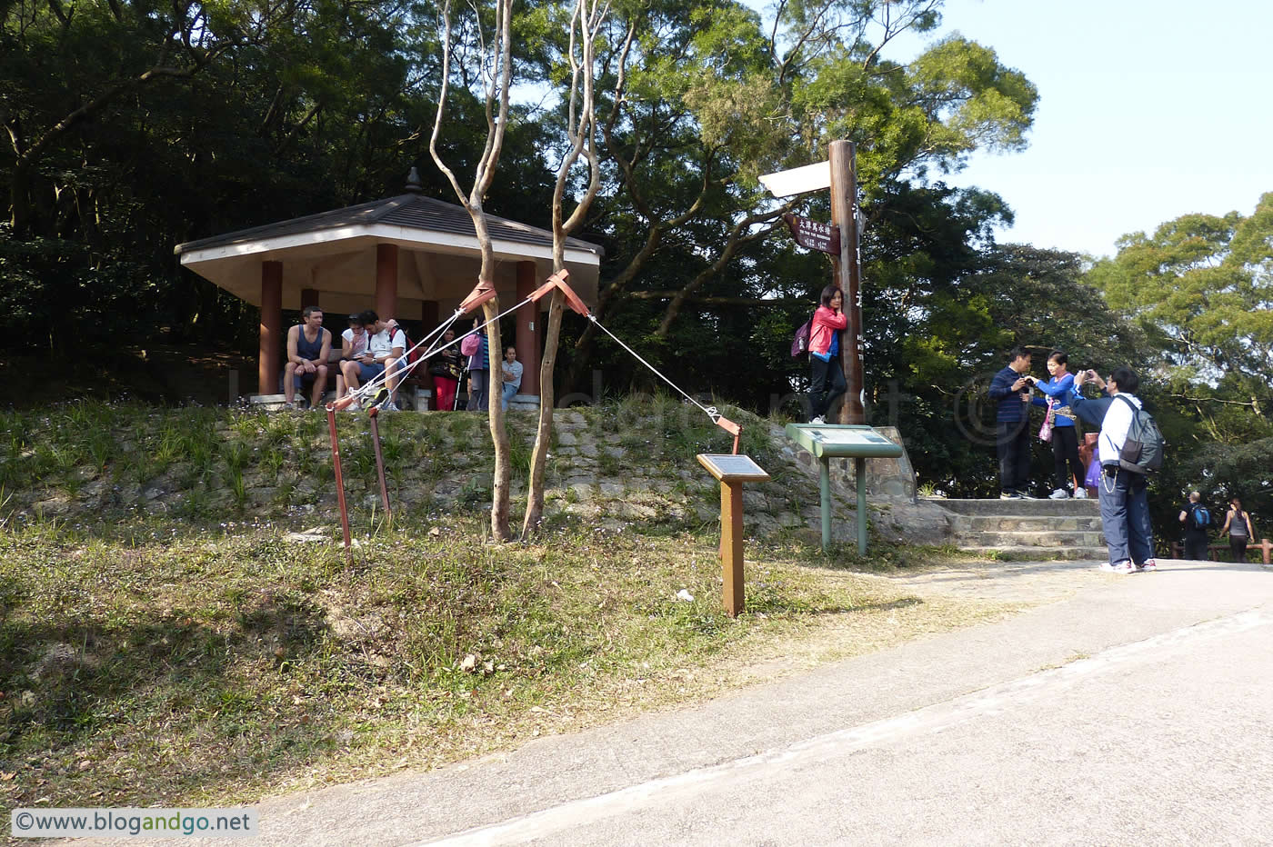
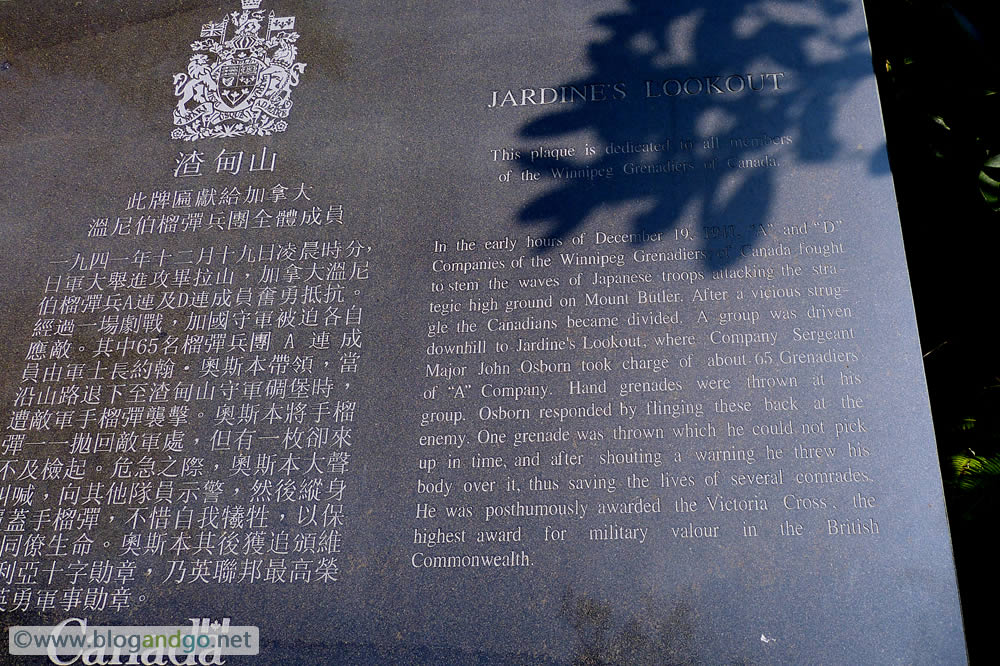
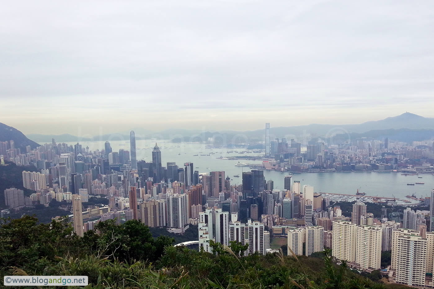
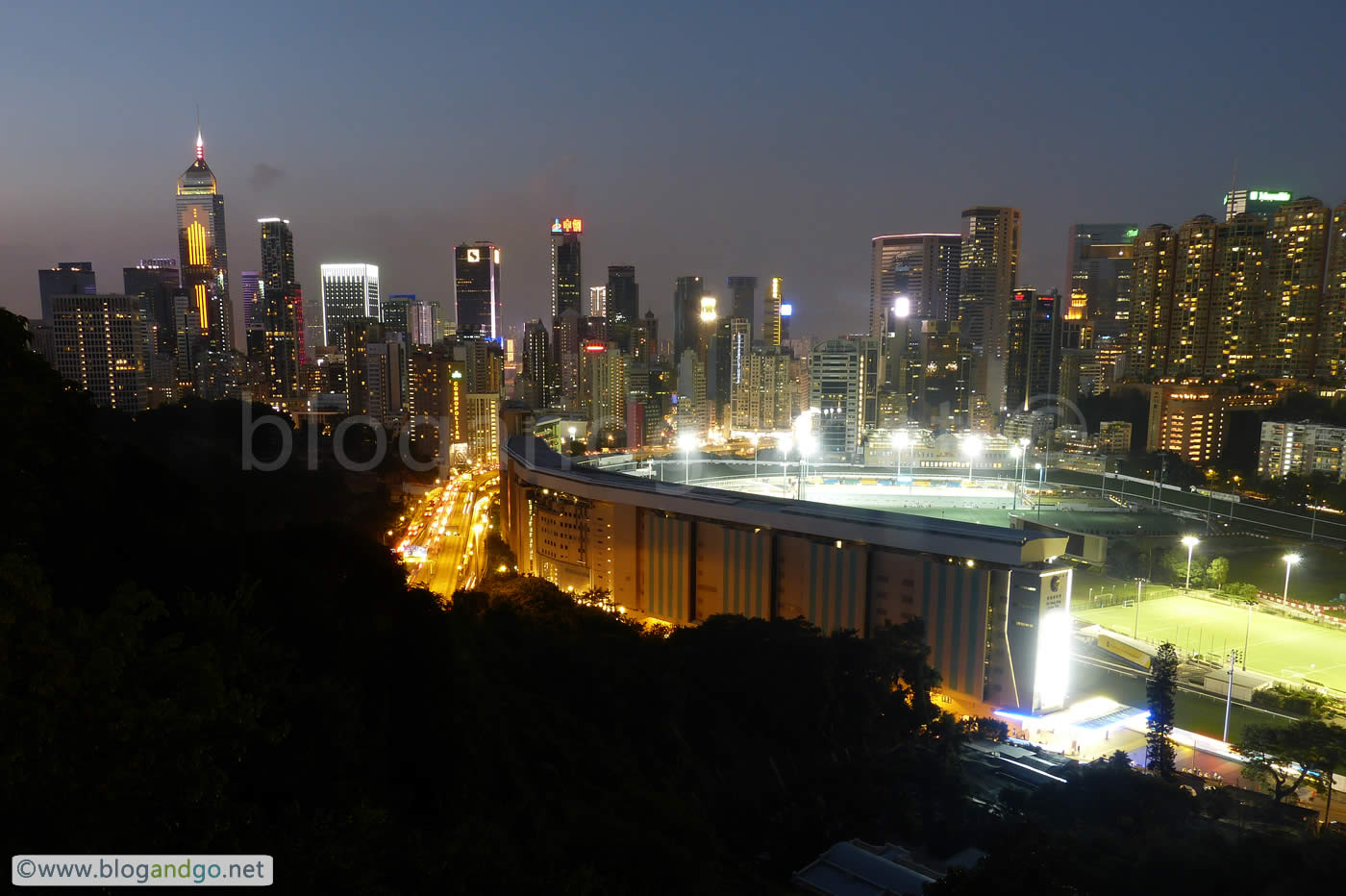
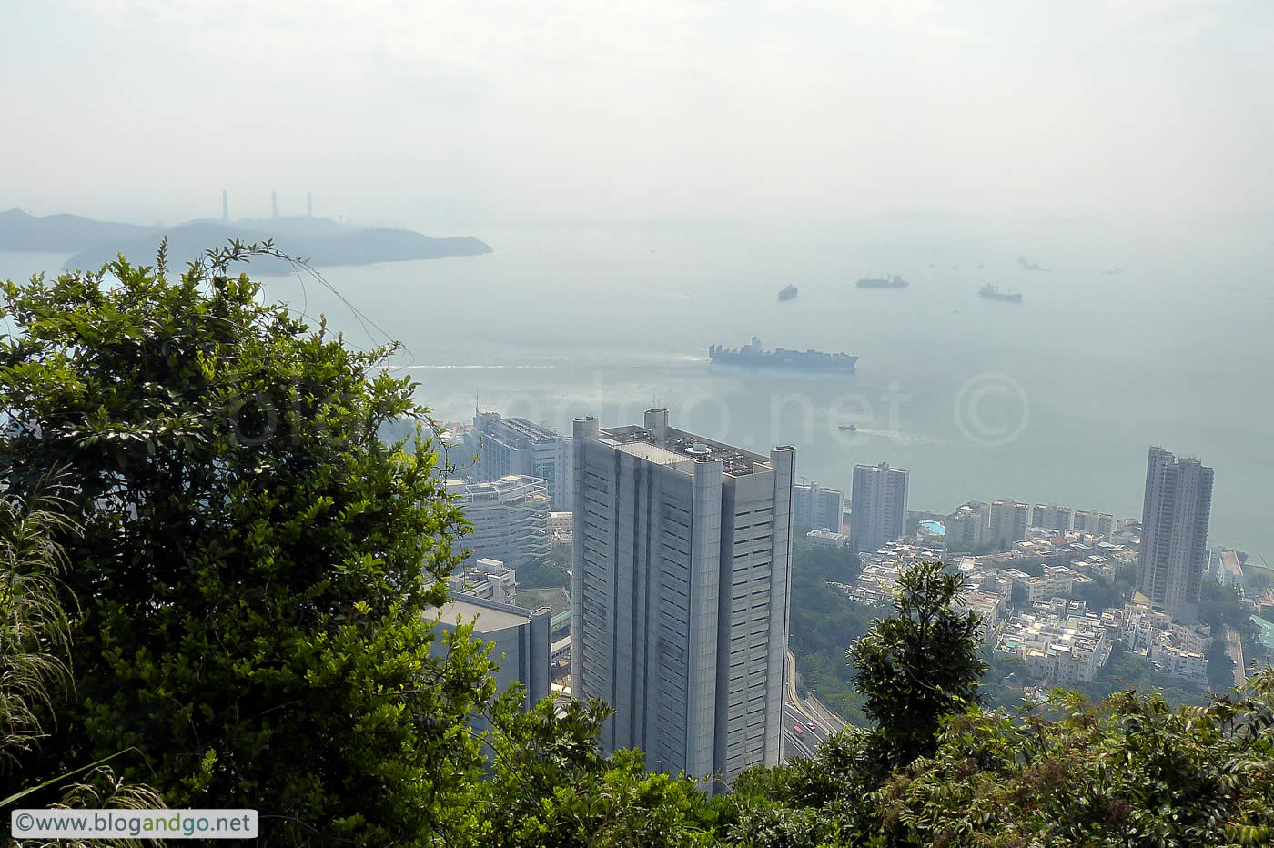
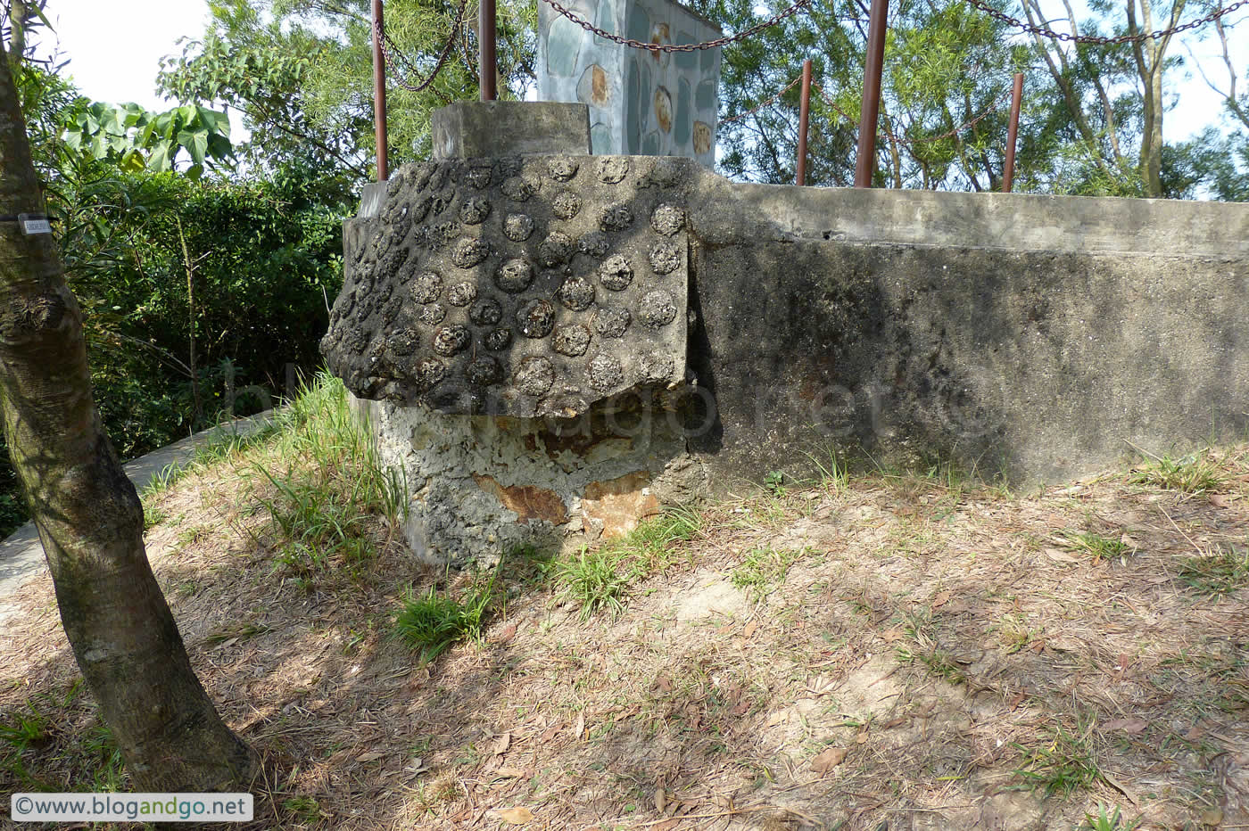
This point on Mount Butler has marks the highpoint of of stage 5. Up here are commanding views of all around Hong Kong island although the next peak, Mount Parker is even higher again. It's no surprise why Canadian and Japanese forces fought over this mountain.
Although the trail Hong Kong Trail stage 5 ends at marker H59, there's an additional 3.5 km to go in order to walk into the city and nearest MTR, Quarry Bay. The Mount Parker Road is an easy downhill walk but considering that stage 6 is a 4.5 km downhill walk then maybe this would have been the better option. The problem is that there are no egg tart shops at the end of stage 6.
Hong Kong Trail 4
Stage 4: Wan Chai Gap to Wong Nai Chung Gap Road (7.5km)
Distance Posts: H38 - H50
fgg
Black's Link - the clue is in the name
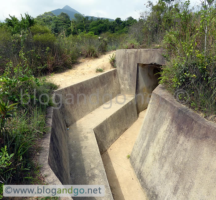
The final roughly 5 distance posts encompass Black's Link, a narrow road is much bereft of buildings. It was built to improve lines of communication across the middle of Hong Kong against attack from an enemy landing on the south of Hong Kong island.
The plan was to make use of the ridge of hills to form a defensive line to repel an attack and to cover the gaps that allow easy passage between the north and south of the island. However this plan was missing the east-west road to enable this concept of operations. From the book 'Eastern Fortress, A Military History of Hong Kong, 1840-1970':
When the General Officer Commanding Hong Kong, Major General Wilsone Black, revised the [Defence Scheme of 1897], he noted that a member of the Local Committee had raised much concern about the defence of the south shore, and that the committee had also noted the absence of lateral roads between Victoria Gap, Wanchai Gap, and Wong Nai Chung Gap.
Black proposed a road connecting Wanchai Gap, Middle Gap, and Wong Nai Chung Gap as part of the solution. By the time he left Hong Kong in 1898, the work to build the road had been approved. He described it in his farewell speech to Legco as Acting Governor, Nov. 22, 1898:
Health and pleasure and the wheels of progress, and I may add of bicycles, move on roads, and in my belief a great strengthening of the defence of this Island will take place when the tracing across the pathless barrier of Mount Cameron and Mount Nicholson is broadened into a road. Shortly after arriving in this colony I urged the Government to take this in hand on public grounds, and it is with great pleasure that by an agreement effected on my representation this boon to the pleasure of the colony and to its defence may be expected shortly to begin. The Executive Council has directed that this road be called "General Black's Link." I feel and value the compliment and only ask that the name may be shortened to "The Black Link."
This is why it is called "Black's Link".
Hong Kong Trail 3
Stage 3: Peel Rise to Wan Chai Gap (6.5km)
Distance Posts: H26 - H37
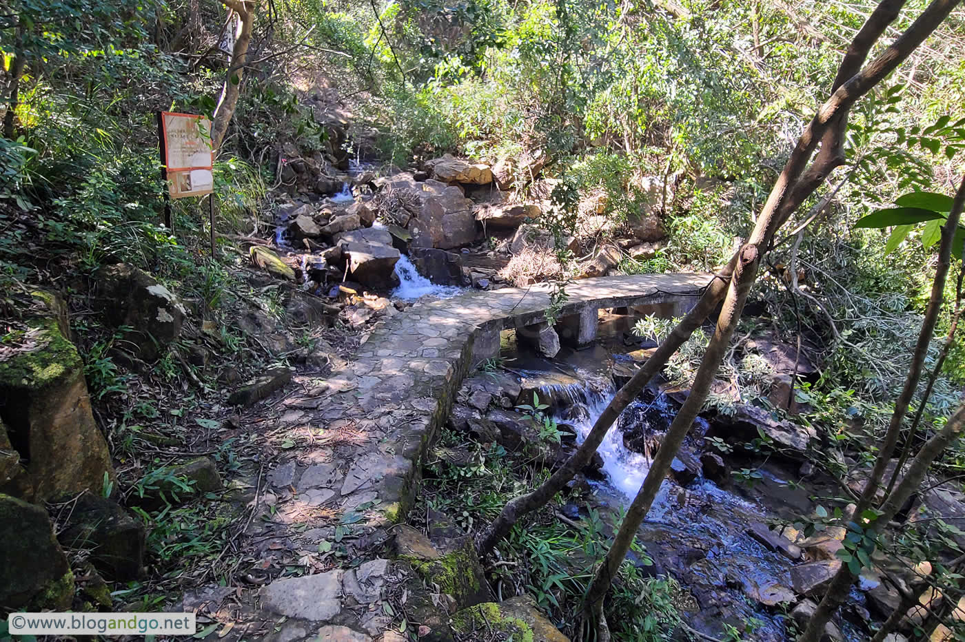
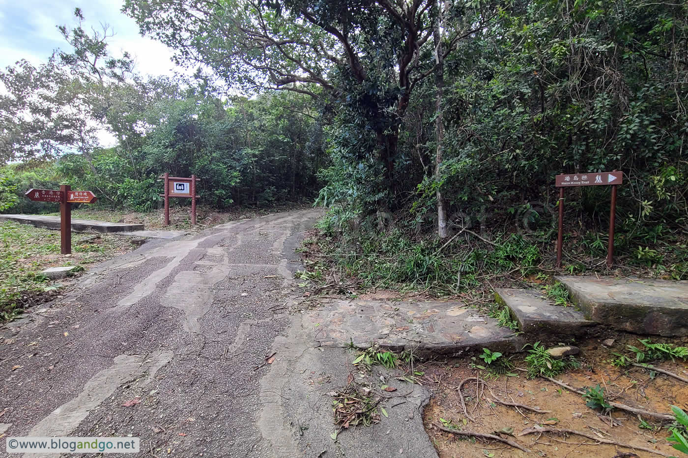
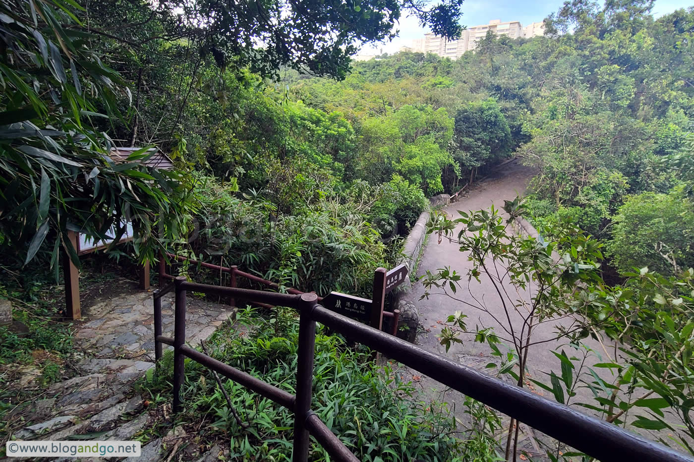
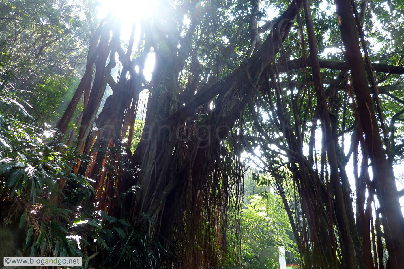
Stage 3 is a lovely country walk in with glimpses of beautiful close up scenery through woods. It's a shaded trail due to the forest canopy, great for a summer hike. There aren't many photo worthy views on account of it being wooded trails - and in fact the only photo I took is the end point of stage 3, or the beginning of stage 4 depending on how you look at it.
Hong Kong Trail 2
Stage 2: Pokfulam Reservoir to Peel Rise (4.5km)
Distance Posts: H15 - H25
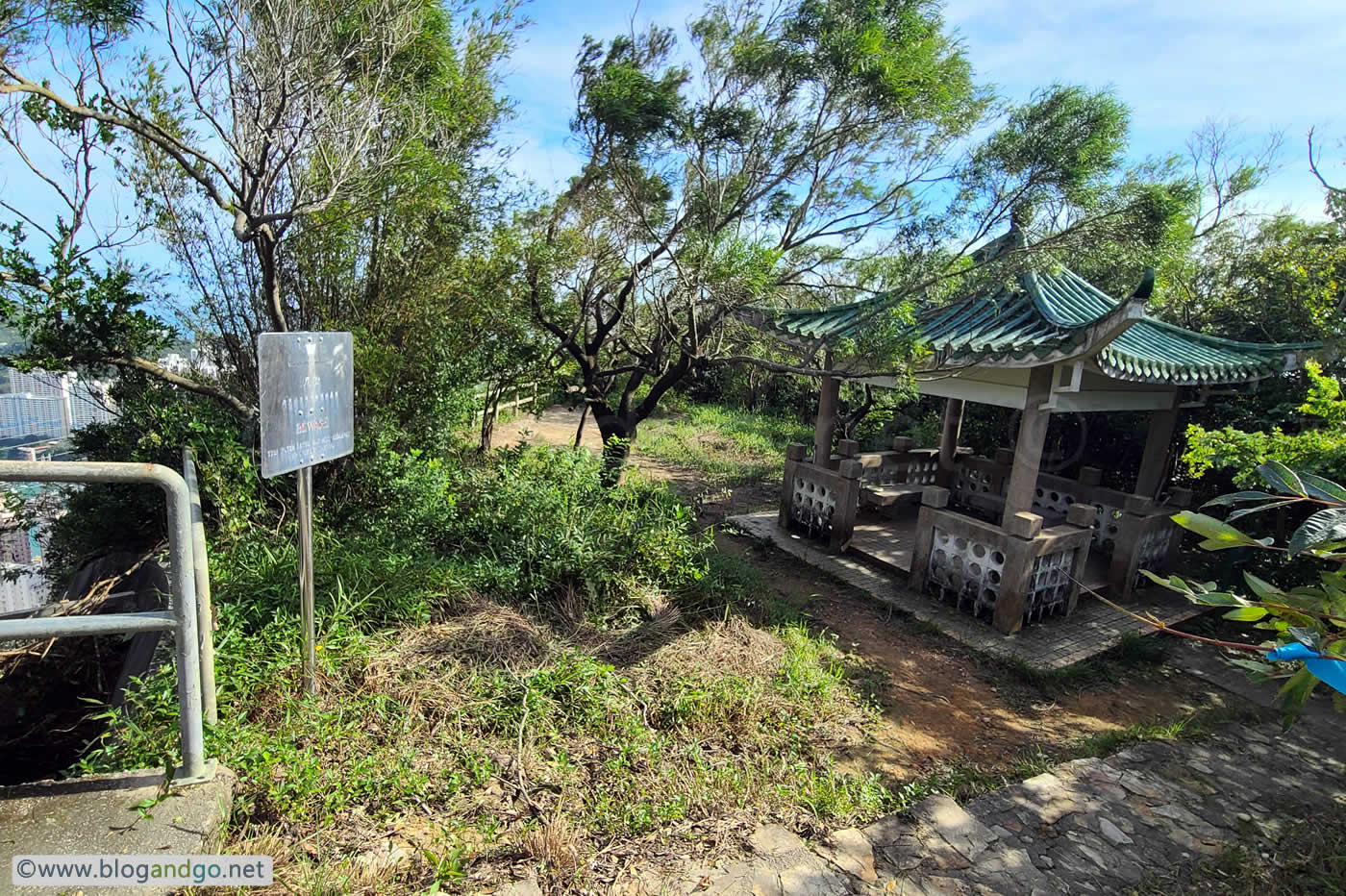
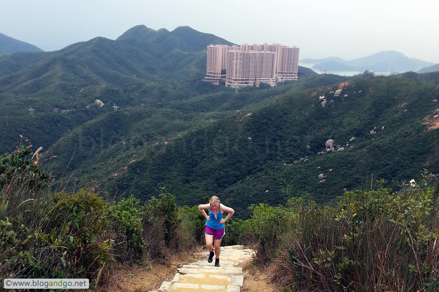
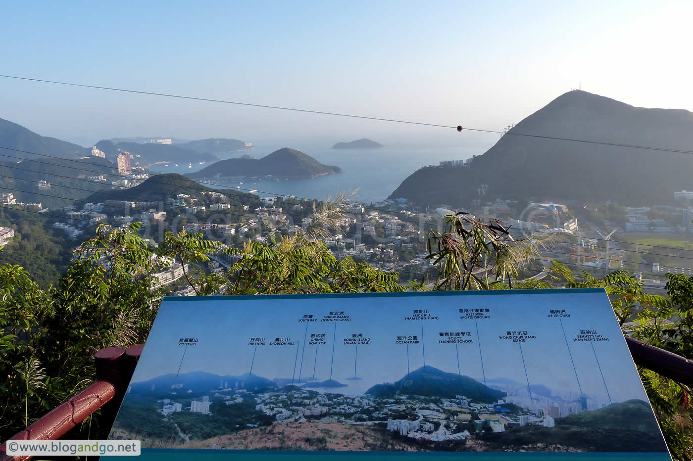
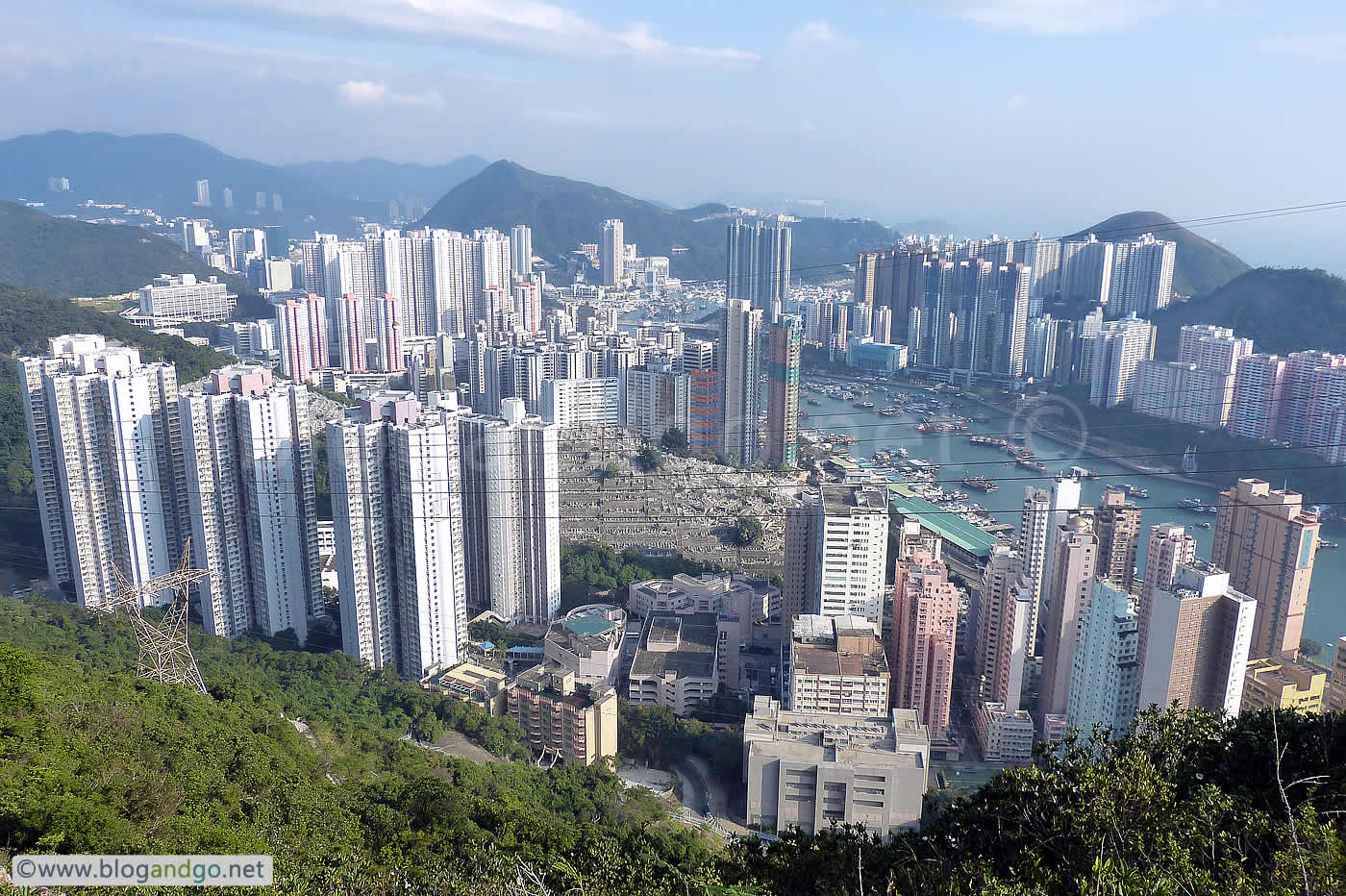
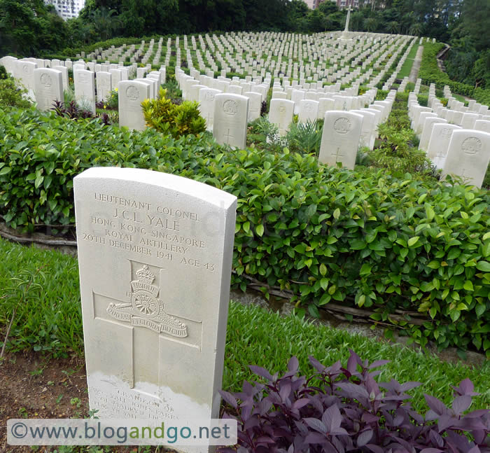
This is a slightly more energetic trail because it is the forested section, with many steps taking you up eventually to the heights overlooking Aberdeen and the Aberdeen Chinese Permanent Cemetery on the south side of Hong Kong island. It's also not as crowded as stage 1 because most of the people there are just after an enjoyable walk with scenic views. As with stage 1, there is plenty of fauna to help you feel at one with nature.
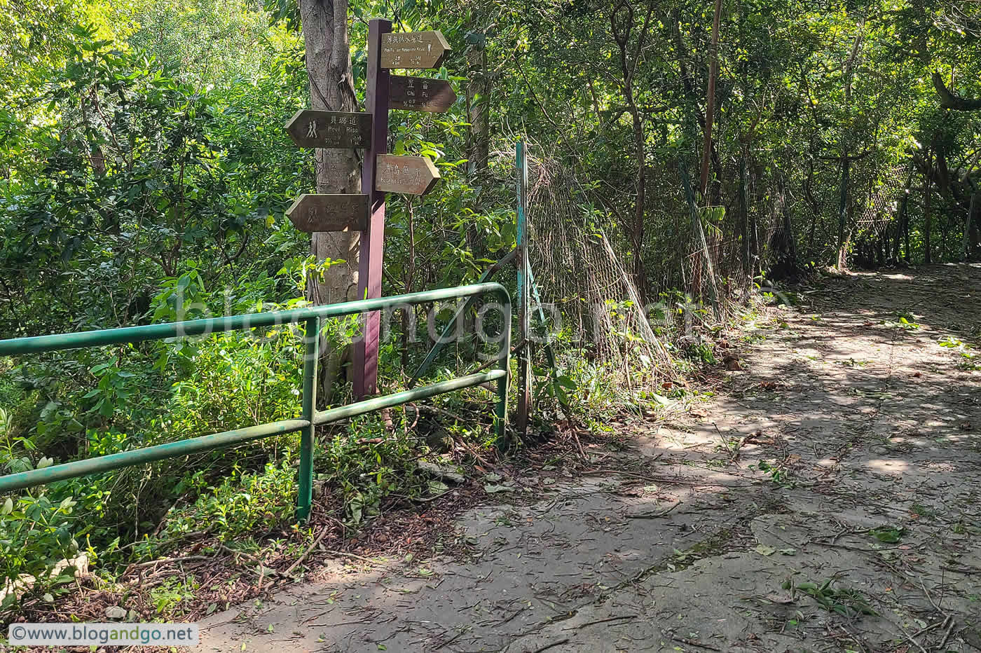
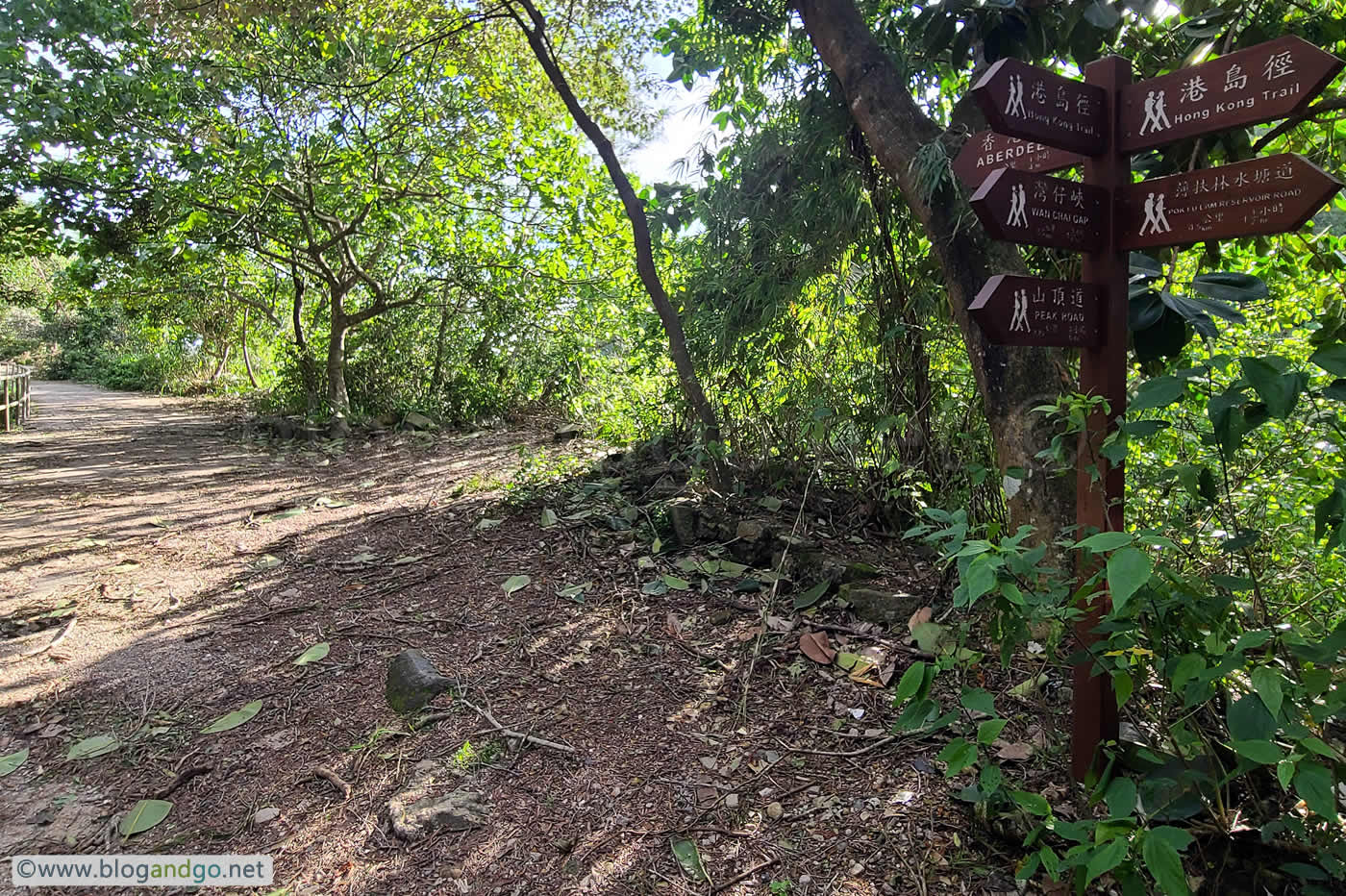
At the end of the section you have a choice of continuing the trail onto stage 3 and pushing on to the Wanchai Gap, or turning onto Peel Rise which takes you through the cemetery and eventually to Aberdeen. From here there are no shortage of eateries and easy transport links.
Hong Kong Trail 1
Stage 1: The Peak to Pok Fu Lam Reservoir (7km)
Distance Posts: H1 - H14
Stage 1 is an easy walk rather than a hike. Many people will do this stage as a pleasant walk one afternoon without any intention of doing the whole trail. It's easy to get to, Bus 15 from Exchange Square in Central, or the pricey Peak Tram which is no fun really as you will probably have to wait in a long queue and may not even get a seat on the short but steep journey. Sitting on the upper deck is an enjoyable experience anyway.
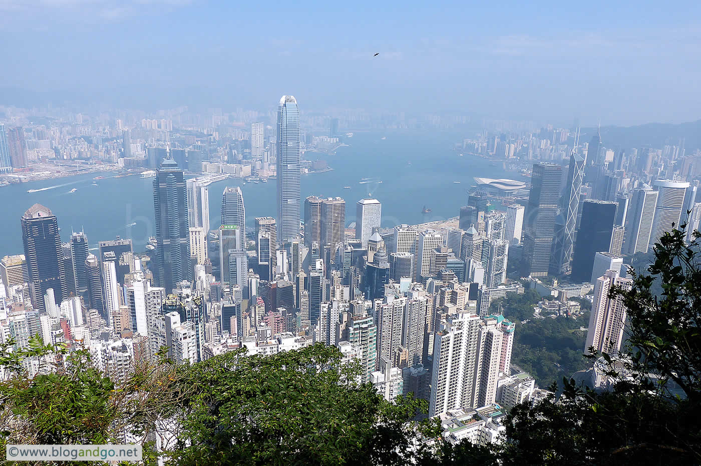
As with all hikes in Hong Kong, if you are after amazing views then hope that the weather is clear, and that the pollution is low. Many photos from my hikes are spoiled by a milky haze.
This hike will actually give you an insight into old Hong Kong. The first part of the hike is on Lugard Road, constructed in 1921 and named after Sir Frederick Lugard, the 14th Governor of Hong Kong from 1907 to 1912. More like a path than a road, it is paved and is an easy walk. In fact that's what the original purpose was for, in the words of the Public Works Department in June 1913, "...the road will be principally used a promenade, a wonderful panoramic view of the City, Harbour..."
How true they were.
The route will take you to a picnic site and a junction with Harlech Road. If you miss it (hard to) then you will soon find yourself back at the peak. The Harlech Road part of the trail starts just before H6 and descends close to Pok Fu Lam Reservoir before ascending again to H14 and the end of stage 1.
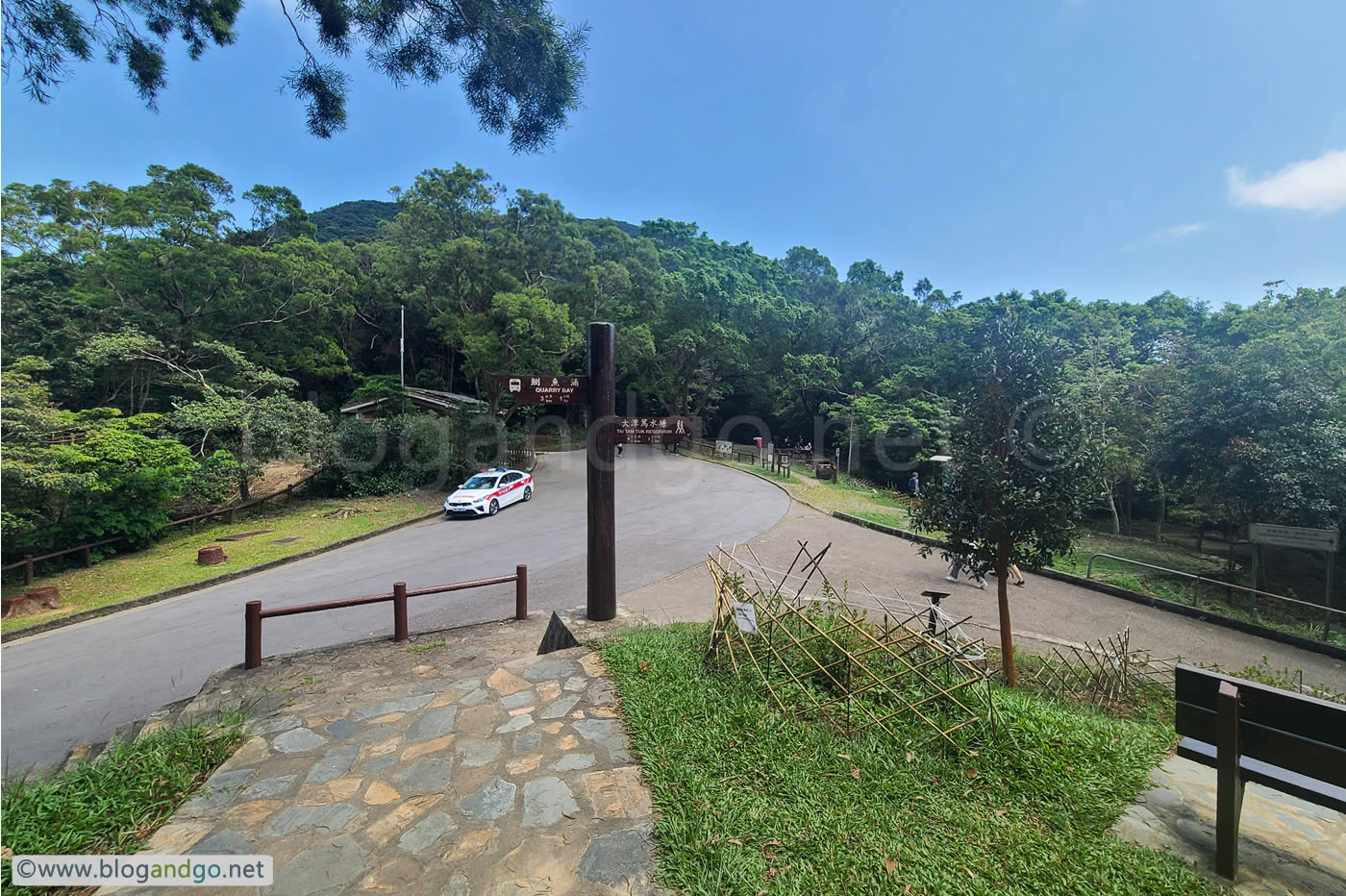





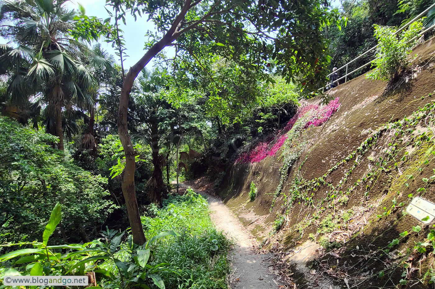

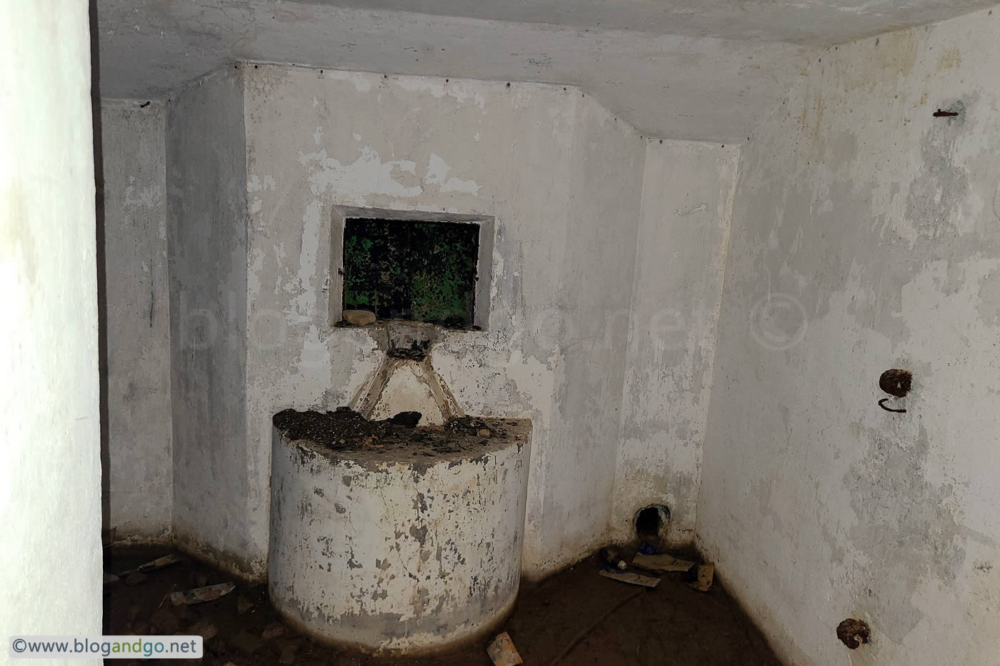
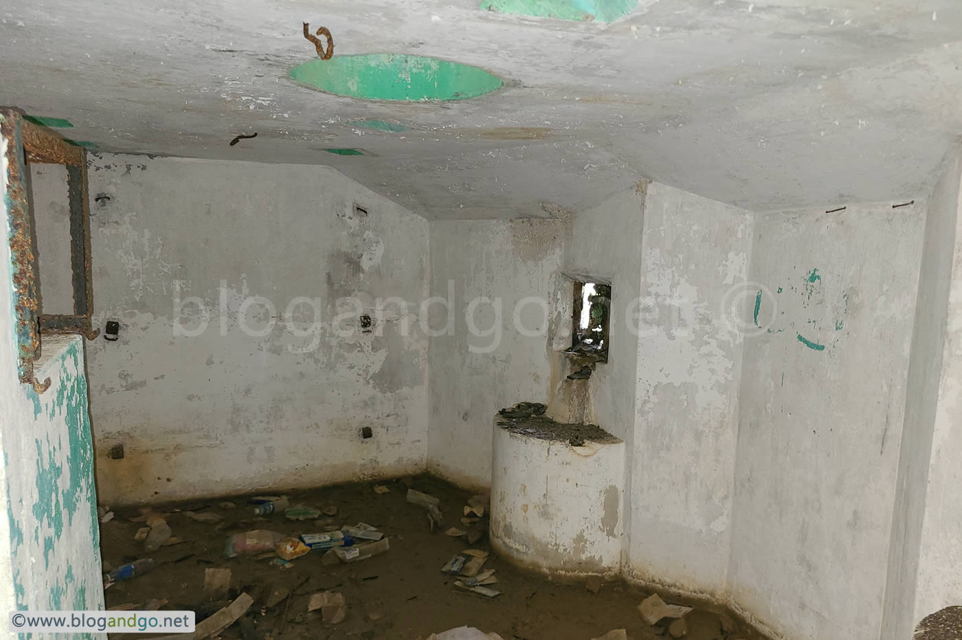
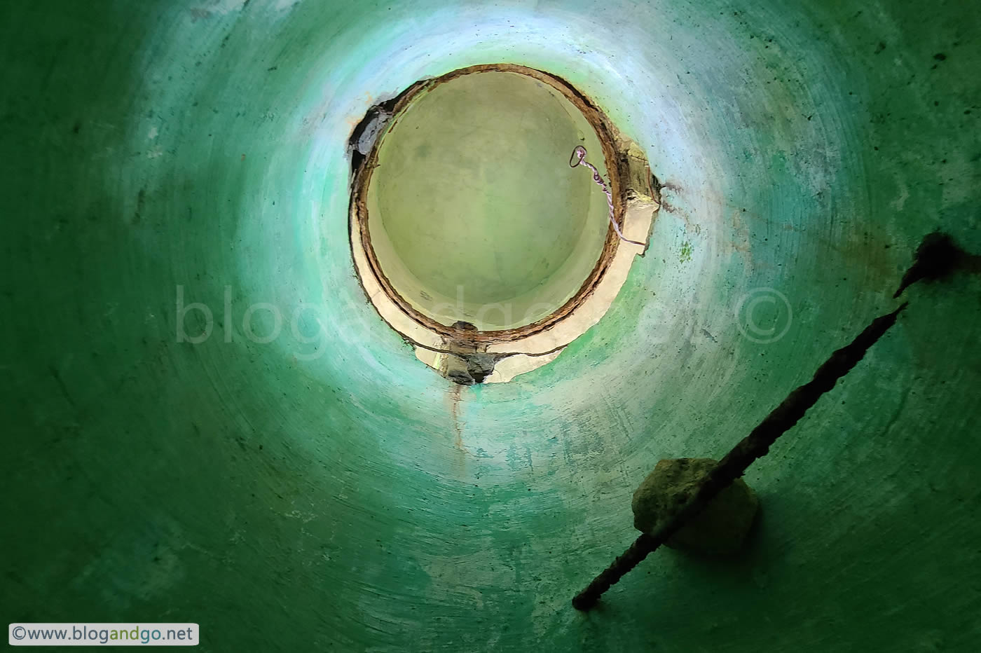

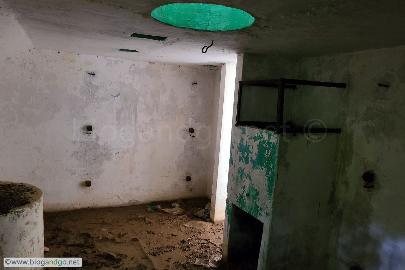
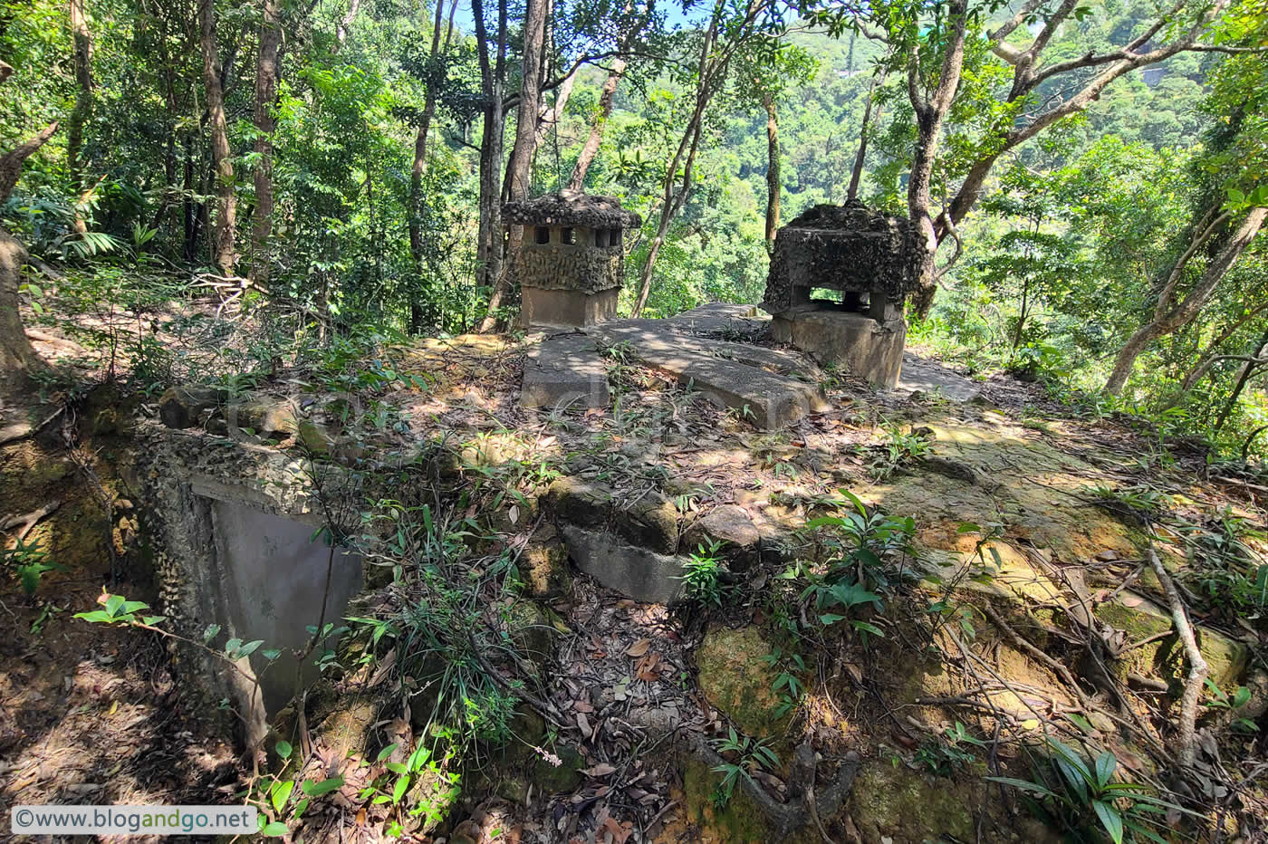
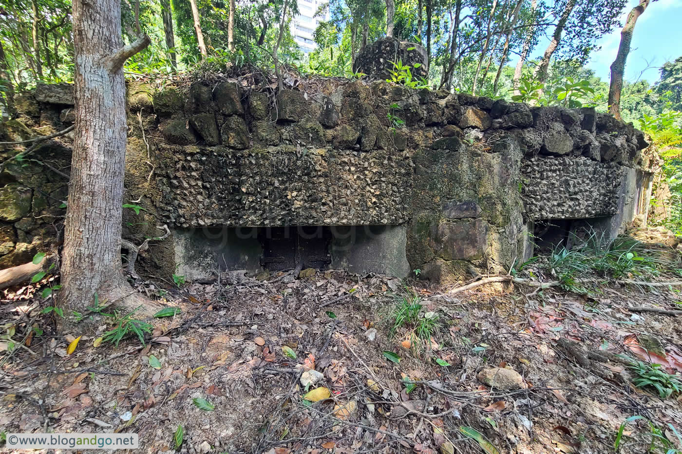
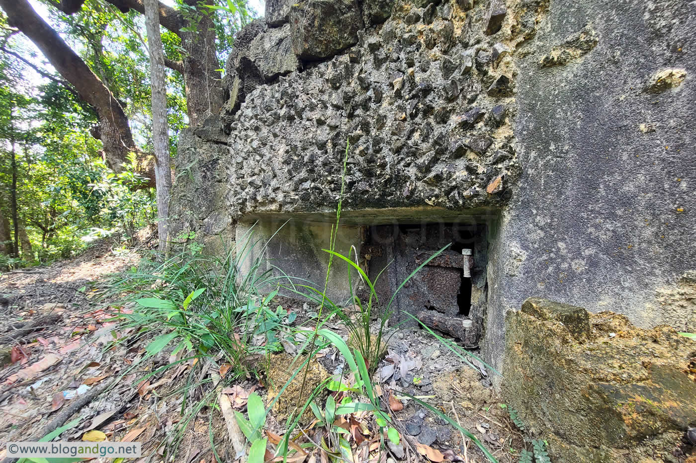
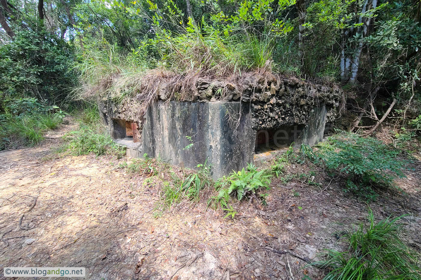
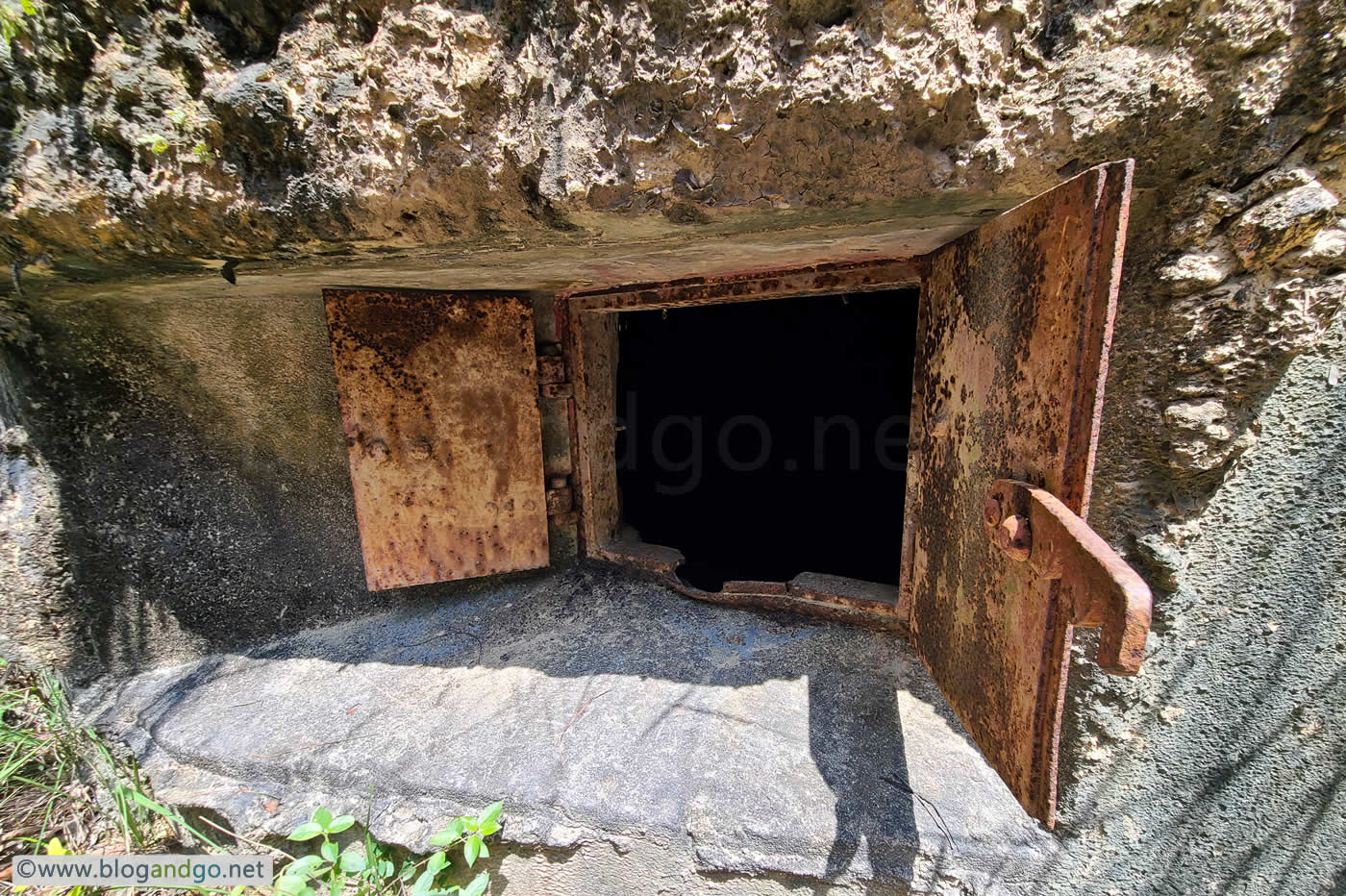
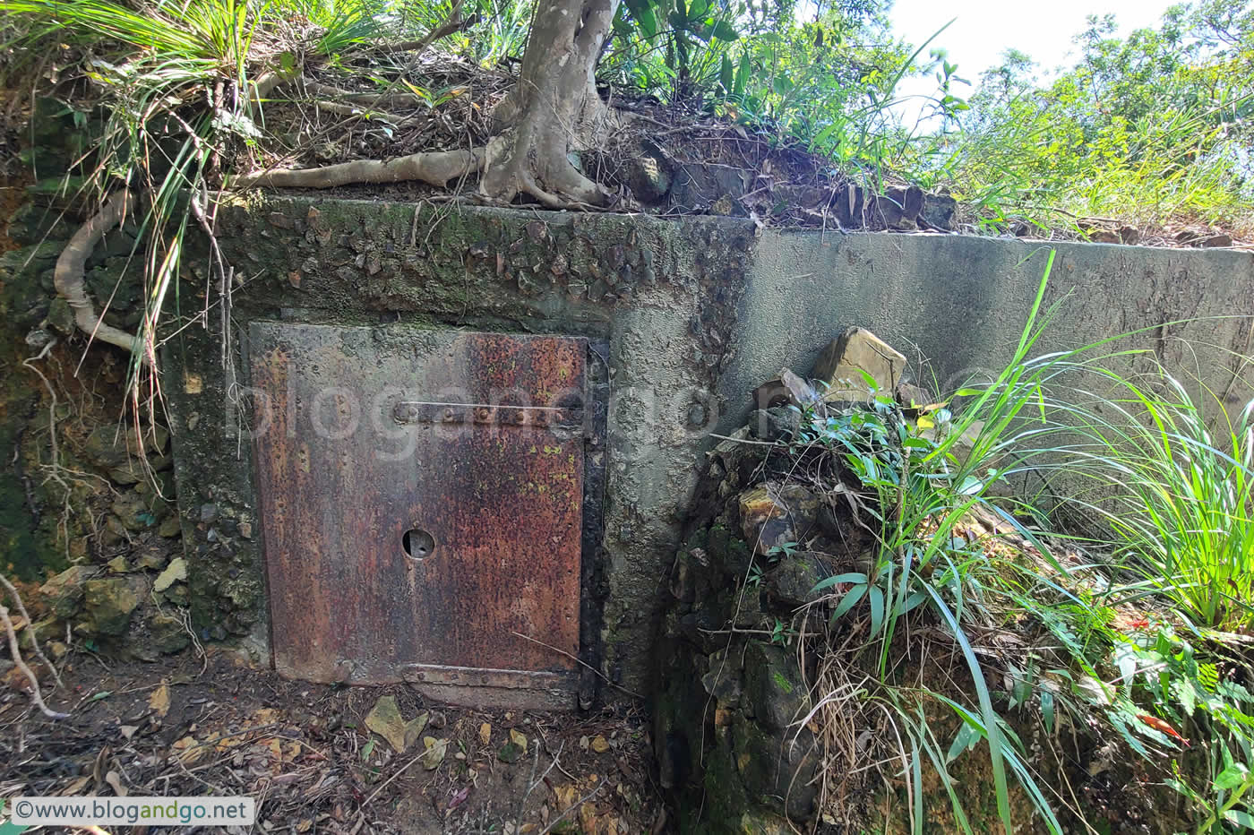
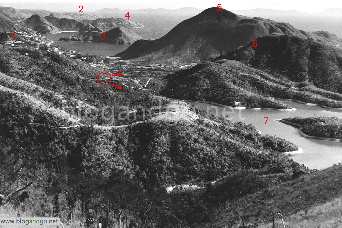
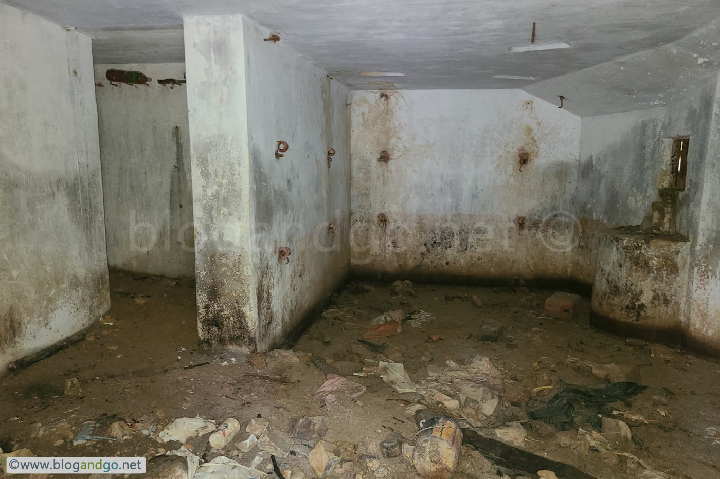
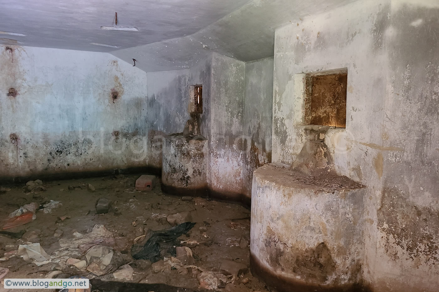
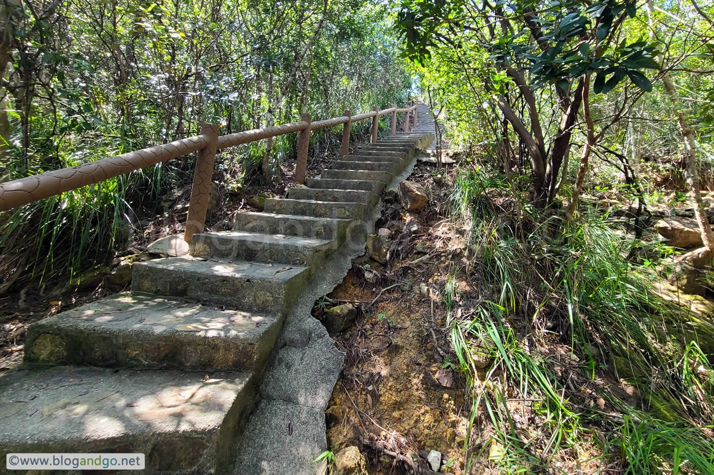

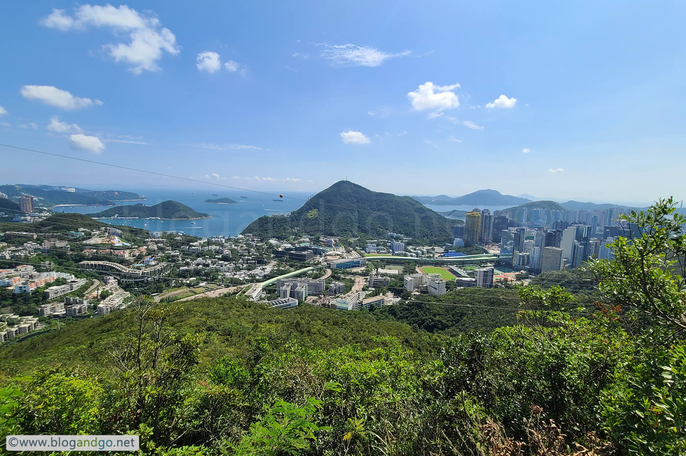


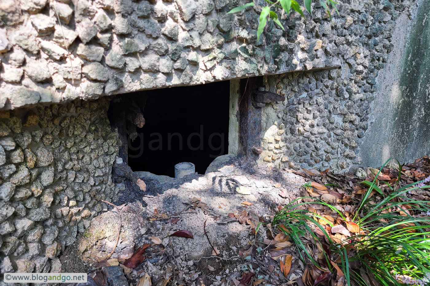
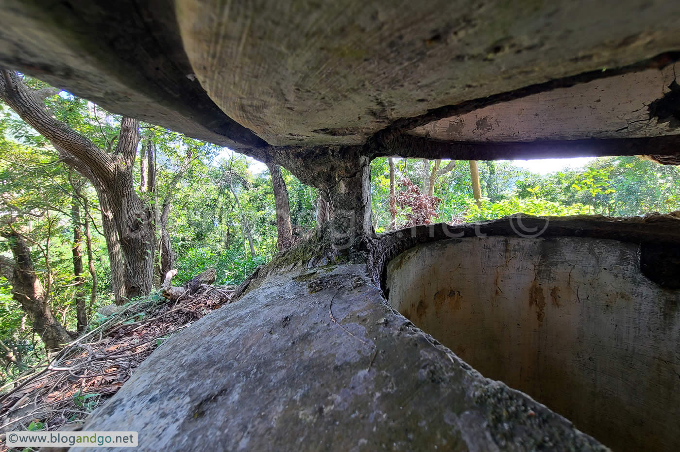
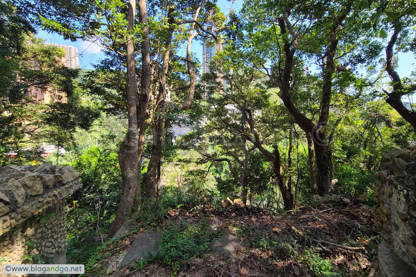
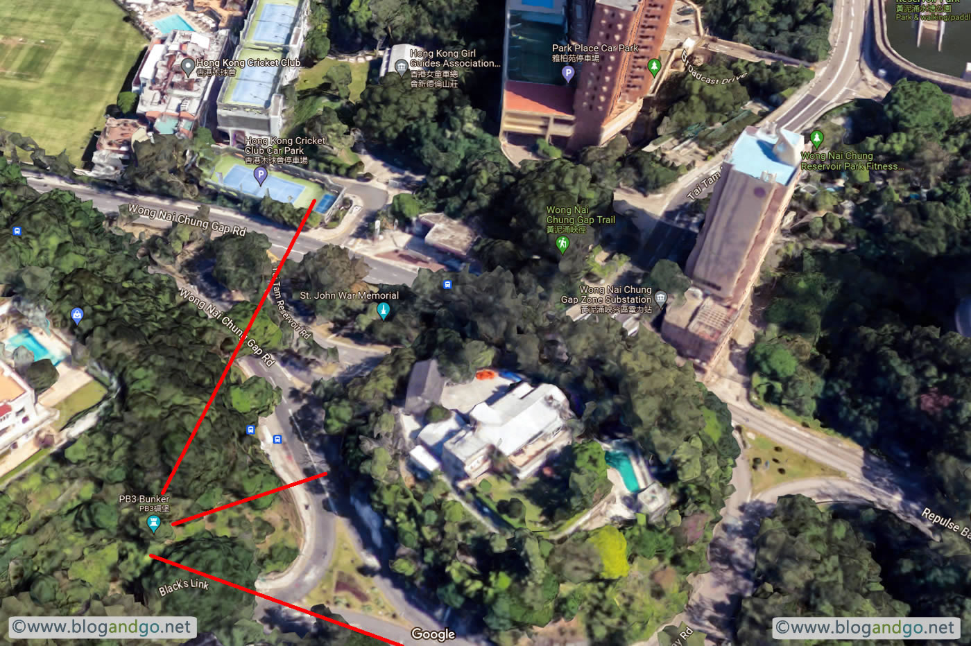
 Wong Nei Chung Gap.jpg?open)
 Wong Nei Chung Gap 1.jpg?open)
 Wong Nei Chung Gap 2.jpg?open)
